May 2022
Springs are locations where up-welling groundwater discharges to the earth’s surface, the “Big Spring” (pictured below) on the shore of Lake Wingra in the University of Wisconsin-Madison Arboretum, is an example. The flow of fresh water from springs helps supply wetlands, streams, rivers, and lakes. Spring flow supplements rainfall and snowmelt that flows overland or that falls directly on the water body.
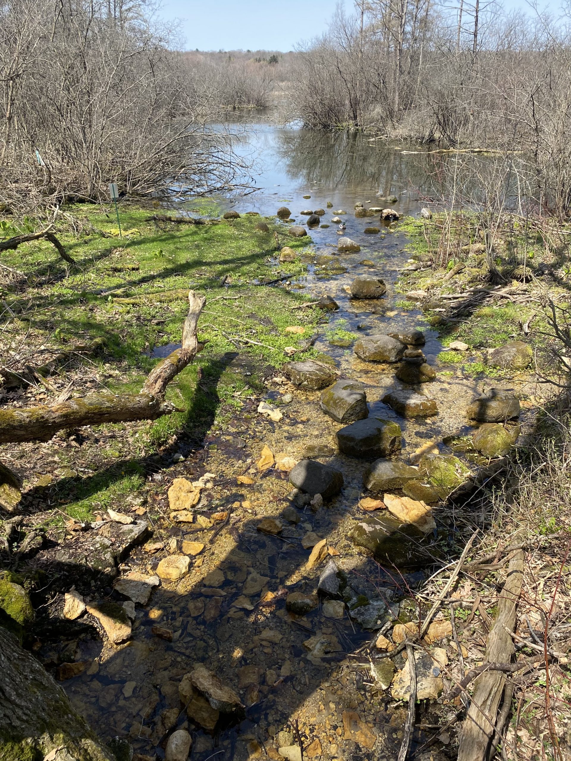
Photo by Sally Lehner
In the Lake Wingra watershed, the remaining springs are generally of the type that discharge from permeable sandstone near buried bedrock valleys, or what the Wisconsin Geological and Natural History Survey refers to as “seepage filtration morphology.” Springs may be further categorized by the way in which the water emerges on the land’s surface.
For example, the spring may emerge from a fracture in an exposed rock as it does at the Council Spring (pictured below), and the Arboretum’s Big Spring.
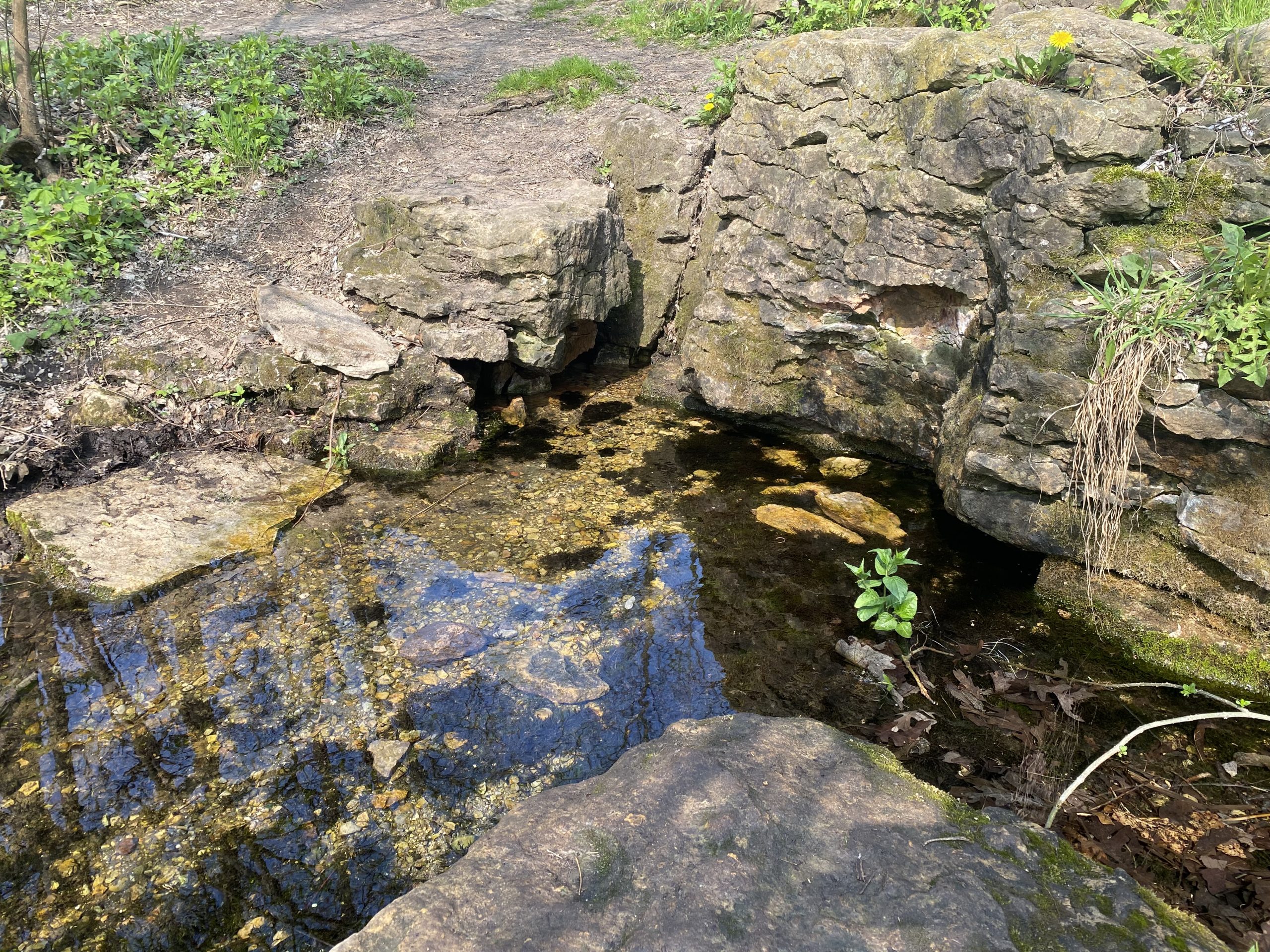
Photo by Sally Lehner
Or, the spring emerges into a stream or pool of water with a sandy bottom; Dancing Sands and White Clay Springs are good examples (both pictured below).
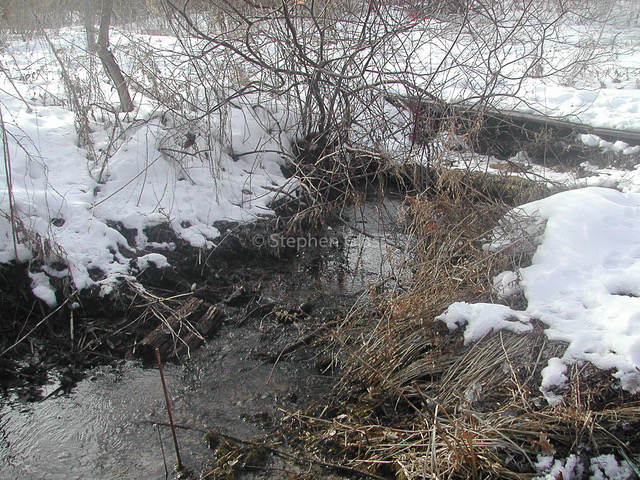
Photo by Steve Glass
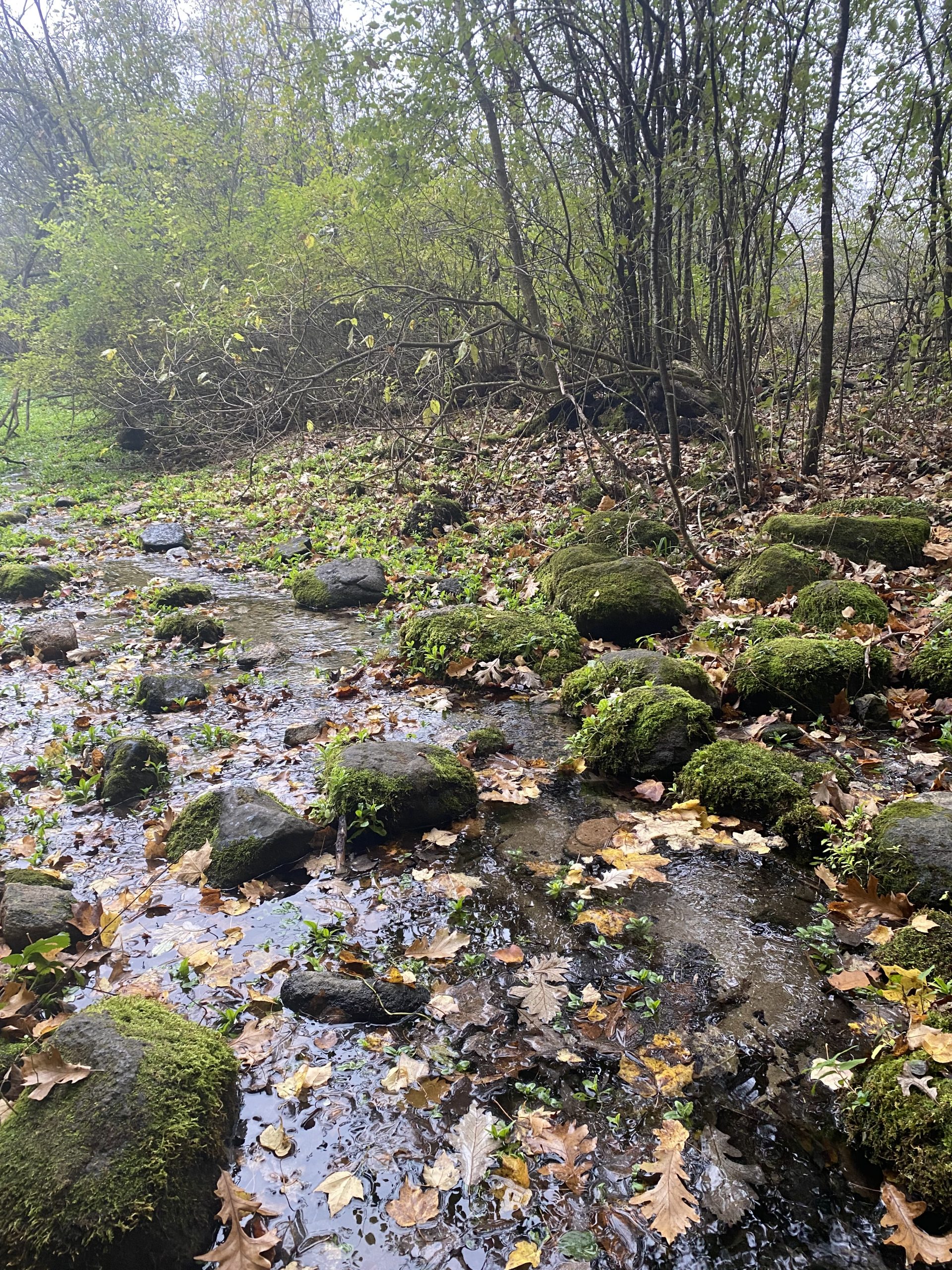
Photo by Sally Lehner
Technically, a hydrologist will define a spring as having a volume of 0.25 cubic feet per second (cfs) or about 110 gallons per minute. But, in everyday language people refer to any groundwater discharge as a “spring” if it has a defined stream channel; “seeps” have a more diffuse groundwater discharge that only make a puddle. In Wisconsin, there are 10,000 inventoried springs. But not all have legal protection; only those springs (about 300) that have a flow rate of 1 cfs have protection from destruction by Wisconsin law. See: Modify definition of springs law. The Arboretum “Big Spring” with an average flow of over 1cfs falls in the protected ranks.
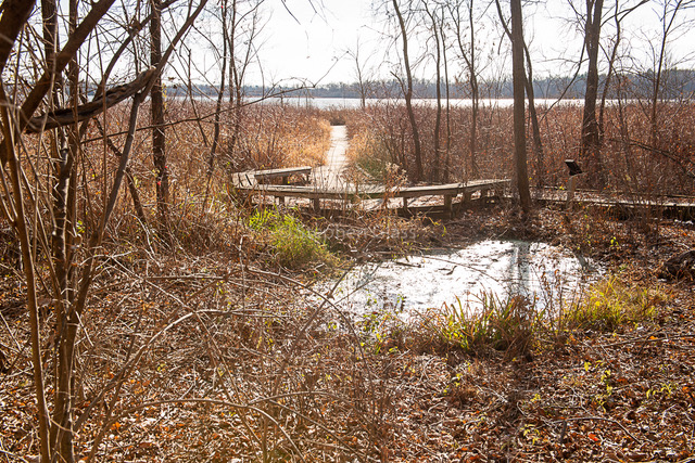
Photo by Steve Glass
Estimates are that there were once several dozen springs around Lake Wingra–today there are only about two dozen that flow regularly. Many were lost to the building of roads and houses; others have dried up or flow only intermittently, perhaps due to land use changes. The drying up of some springs is perhaps because today there is a smaller amount of precipitation–than historically–that actually infiltrates into the groundwater. This lost precipitation instead runs down driveways and streets into storm sewers. The graphic below shows the relative locations or known springs around Lake Wingra in 2005, credit to Friends of Lake Wingra (FLOW).

Despite the importance of groundwater flow to the Lake Wingra water budget, little is known about the number of springs still flowing, their individual flow rates nor the number that have been lost over the years. Research to measure the amount of water flowing from some springs was conducted by Bemis, et.al 2005 and Ballering and Bahr, 2004. I measure spring flow rates of 6 springs. Springs monitored are: Council Spring and Dancing Sands on Monroe St at Arbor Drive; a spring on the Nakoma Golf Club; and West Spring, Big Spring, and White Clay springs, all in Wingra Woods in the Arboretum. In the future I will share spring flow rates and other information about springs.
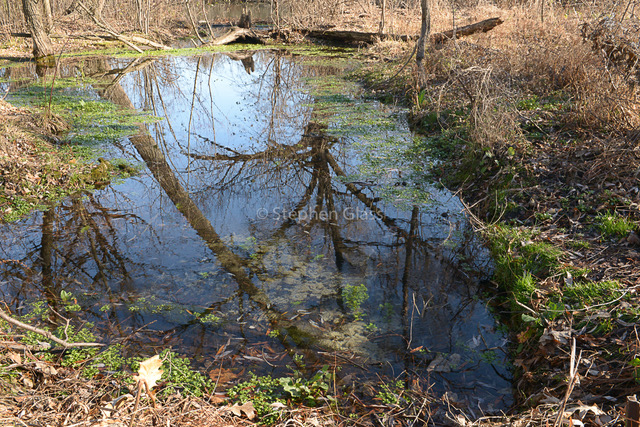
Photo by Steve Glass
For more general information about the springs, check out the Wisconsin Geological and Natural History Survey and its “Springs In Wisconsin” project; and especially the page: Springs In Wisconsin History and the section on Lake Wingra Springs, describing: “The spiritual significance of springs to the region’s mound-builders, ancestors to the modern Ho-Chunk, inspired much ceremonial activity here. Archaeologists correlate the concentration of mound groupings with the concentration of springs that feed Lake Wingra.” Listen to springs podcasts featuring local naturalists at Unseen Madison.
References
Ballering, N. and J. Bahr. 2004. Spring flow and water quality in the Lake Wingra Watershed. Undergraduate Research Scholars Program, Department of Geology and Geophysics, University of Wisconsin-Madison.
Bemis, B., D. Gildner, E. Murdock, L. Severson and C. Storrar. 2005. Springflow Gauging for Long-term Monitoring of Groundwater Flow Into Lake Wingra. Hydrolic Measurements (CEE 619) May 12, 2005.
Brown, C.E. 1927. The Springs of Lake Wingra, Wisconsin Magazine of History, 10, 298-301.
Noland, Wayland E. 1951. The Hydrography, Fish, and Turtle Population of Lake Wingra, Wisconsin Academy of Science, Arts, and Letters, Madison, WI.
Wisconsin Geological and Natural History Survey, https://wgnhs.wisc.edu/water-environment/springs/